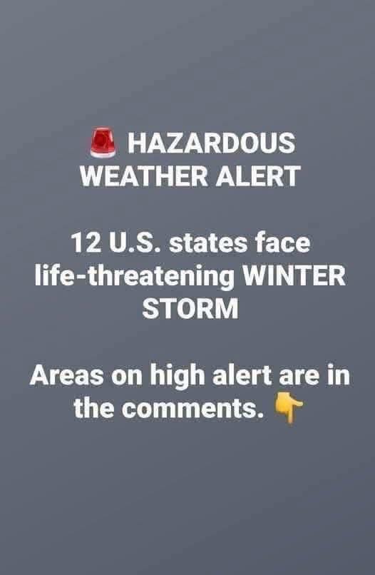
A powerful and potentially destructive ice storm sweeping across the Mid-Atlantic has placed millions of residents on heightened alert as meteorologists warn of freezing rain, gusty winds, and rapidly deteriorating conditions capable of turning ordinary routines into serious hazards. Unlike snowstorms, which visibly blanket landscapes and immediately signal danger, ice storms often develop quietly, coating roads, sidewalks, trees, and power lines with a nearly invisible glaze that is far more treacherous than it appears. As warmer air aloft moves into the region and meets stubbornly cold air trapped near the surface, rain freezes instantly upon contact, creating slick conditions in a matter of minutes. Vehicles can lose traction at very low speeds, pedestrians can fall without warning, and infrastructure not designed to withstand heavy ice loads can fail suddenly. Emergency officials across Maryland, Virginia, West Virginia, and Pennsylvania are emphasizing that this type of storm deserves serious attention, noting that even brief exposure can result in injuries, vehicle crashes, and extended disruptions to daily life. The storm’s wide reach and timing during active weekday hours only compound the concern, affecting both dense urban corridors and rural communities where emergency response may be slower.
The areas facing the greatest threat include north-central and western Maryland, northwestern Virginia, eastern West Virginia, and central to western Pennsylvania, where atmospheric conditions are especially favorable for prolonged freezing rain. In these regions, steady precipitation is interacting with subfreezing surface temperatures, allowing ice to accumulate not just on elevated structures but also on roads, sidewalks, and trees. Power infrastructure is particularly vulnerable, as ice accumulation adds significant weight to lines and branches, causing them to sag, snap, or collapse entirely. Utility companies have mobilized crews and staged equipment in advance, but officials caution that restoration efforts may be hampered by ongoing weather, blocked roadways, and the sheer scale of potential damage. Rural areas face unique challenges, including narrow roads, limited detours, and longer distances between repair sites, all of which can delay emergency access. Authorities continue to stress that the safest course of action is avoidance, urging residents to stay off roads whenever possible and to prepare for the possibility of extended power outages as ice continues to build.
Transportation systems throughout the Mid-Atlantic are already adjusting in response to the worsening conditions, underscoring the seriousness of the forecast. Airports are closely monitoring runway icing and aircraft safety, with delays and cancellations increasingly likely as freezing rain interferes with both flight operations and ground handling. School districts are announcing closures, delayed starts, or transitions to virtual learning to keep students and staff off dangerous roads, while public transit agencies are modifying routes or suspending service in the most heavily affected areas. Road crews are focusing on major arteries and emergency routes, but officials acknowledge that traditional treatments such as salt and brine are far less effective against freezing rain than against snow. Bridges, overpasses, shaded roadways, and untreated side streets are especially dangerous, often icing over first and remaining slick the longest. For those who must travel, authorities urge extreme caution, reduced speeds, and increased following distances, while emphasizing that even defensive driving cannot eliminate the risk posed by ice. The consistent message from emergency managers is clear: staying home is the most reliable way to remain safe.
At the household level, preparation plays a critical role in reducing the impact of severe winter weather, and officials are encouraging residents to take proactive steps before conditions worsen. Stocking up on essential supplies such as food, water, medications, and batteries can help families remain self-sufficient if travel becomes impossible. Charging mobile phones, backup power banks, and essential medical devices is strongly advised, particularly in areas where outages may last for days rather than hours. Residents are urged to secure outdoor items that could become hazards in strong winds and to park vehicles away from trees weighed down by ice. Those who depend on electricity for medical equipment are encouraged to notify utility providers in advance and review contingency plans with caregivers or family members. Simple measures, such as setting thermostats slightly higher before outages occur, keeping flashlights within reach, and having extra blankets available, can significantly improve comfort and safety. Preparedness, officials stress, is not about panic but about anticipating realistic scenarios and minimizing vulnerability during a period when outside help may be delayed.
As the storm continues to unfold, emergency response agencies across the region are coordinating efforts to manage both immediate dangers and the longer-term consequences of widespread ice accumulation. Downed power lines pose a severe and potentially deadly risk, and residents are repeatedly warned to treat any fallen line as live and to keep a safe distance at all times. Ice-laden trees may continue to shed branches long after precipitation ends, creating ongoing hazards for homeowners, motorists, and cleanup crews. Local shelters may be activated if outages become widespread or if heating systems fail during prolonged cold. Clear communication between state agencies, local governments, utility companies, and the public is essential to prioritizing repairs and ensuring accurate information reaches those affected. Officials urge residents to rely on trusted sources such as emergency alerts and weather services, cautioning that misinformation can spread quickly during high-impact events and create unnecessary confusion or fear.
Although forecasts suggest that freezing rain may taper off by late Thursday, the end of precipitation will not mark an immediate return to normal conditions. Recovery from ice storms is often slow and complex, as crews work to clear fallen trees, repair damaged power lines, and assess impacts to homes, roads, and public infrastructure. Icy patches can persist in shaded or low-traffic areas, and overnight refreezing may prolong dangerous conditions even as daytime temperatures rise slightly. The National Weather Service continues to advise residents to assume that surfaces remain icy and to exercise caution during any necessary travel. Ice storms are among the most disruptive winter weather events due to their unpredictability, widespread reach, and lingering effects. By preparing early, following official guidance, and prioritizing safety over convenience, communities across the Mid-Atlantic can reduce risks, protect lives, and support a smoother recovery once conditions finally improve.